An Ice Storm Warning is an alert that dangerous freezing rain is expected to create a significant buildup of ice, making travel and conditions hazardous. ❄️⚠️
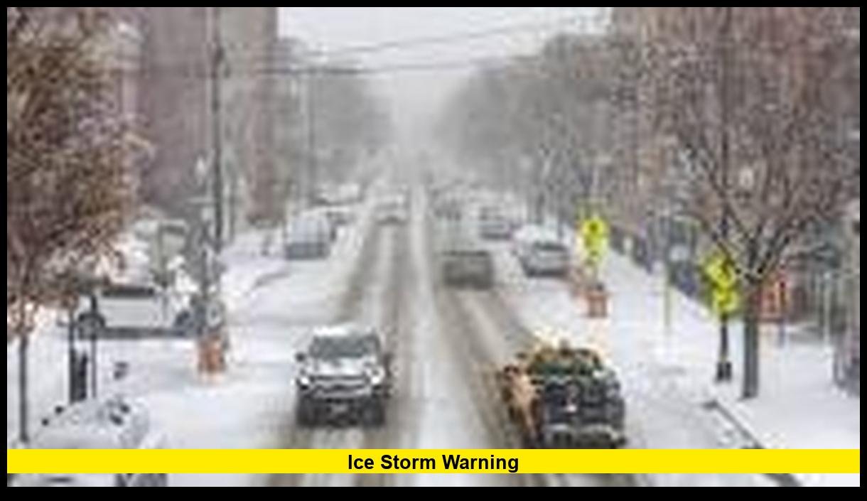
An ice storm warning is currently affecting parts of the United States as a powerful winter weather system brings freezing rain, dangerous road conditions, and widespread travel disruptions in mid-March 2026.
Meteorologists are tracking a complex storm system moving across the Upper Midwest and Great Lakes, where snow, sleet, and freezing rain are creating hazardous conditions. Several regions have issued winter alerts as heavy precipitation transitions into ice accumulation overnight and into early Monday. Officials warn that even small amounts of freezing rain can quickly coat roads, power lines, and trees with ice, creating dangerous conditions for drivers and residents.
This developing weather event comes during a period of unusually active late-season winter storms across the country, with several systems moving through the northern and eastern United States over the past few weeks.
Current Ice Storm Warning Areas
As of March 15, 2026, the most notable ice storm warning is affecting parts of northern Lower Michigan. Weather authorities issued the warning due to expected freezing rain that could produce significant ice accumulation.
The warning currently includes several counties:
- Crawford County
- Grand Traverse County
- Kalkaska County
- Montmorency County
The warning remains in effect until 8:00 a.m. Monday, March 16, when temperatures are expected to rise enough to reduce freezing rain risks.
Meteorologists expect precipitation to shift between snow, sleet, and freezing rain during the storm’s peak hours. Ice buildup could affect roads and infrastructure overnight.
This type of warning indicates that significant ice accumulation is either occurring or expected, making travel extremely dangerous.
Why Ice Storms Are Especially Dangerous
Ice storms differ from typical snowstorms because freezing rain forms a solid layer of ice on surfaces. Even a thin coating can lead to severe hazards.
Major risks include:
- Extremely slippery roads and highways
- Downed power lines and tree branches
- Widespread power outages
- Dangerous travel conditions
- Structural damage from ice weight
Freezing rain occurs when warm air passes above a layer of cold air near the ground. Rain falls through the warm layer, then freezes instantly on contact with cold surfaces.
This process creates a glaze of ice that can rapidly accumulate.
In severe cases, ice buildup can exceed one-quarter inch, enough to bring down tree limbs and power lines.
Storm Conditions Developing Across the Upper Midwest
The ice threat is occurring alongside a much larger winter storm affecting several states in the Upper Midwest and Great Lakes.
Heavy snow and strong winds are already producing dangerous conditions in areas farther west.
Key impacts reported Sunday include:
- Heavy snowfall across Minnesota and Wisconsin
- Whiteout conditions in several rural areas
- Hundreds of crashes reported on icy highways
- Flight cancellations at major airports
- Strong winds creating blowing snow and poor visibility
Officials warned that travel may become nearly impossible in some locations as snowfall intensifies and winds increase.
Snowfall totals in parts of western Wisconsin have already reached double digits, with some communities reporting more than a foot of snow.
Wind gusts approaching 40 to 45 mph are also expected to worsen conditions.
Travel Disruptions and Flight Cancellations
The winter storm system is also causing major disruptions to transportation.
Air travel across the Midwest has been heavily affected.
Key impacts reported during the storm include:
| Impact | Details |
|---|---|
| Flight cancellations | Thousands of flights disrupted during the weekend travel period |
| Airport delays | Major hubs including Minneapolis–Saint Paul experienced heavy cancellations |
| Highway closures | Several highways in snow-covered regions advised against travel |
| Crash reports | Hundreds of accidents reported during the storm |
Airports across the region warned travelers to check flight status before heading to terminals.
In some areas, heavy snow and ice forced airlines to cancel flights throughout the day.
The storm arrived during the busy spring break travel season, increasing the number of travelers affected.
Emergency Preparedness and Government Response
Local authorities and emergency agencies are actively monitoring the situation.
Several states activated emergency response teams as the storm intensified.
Emergency management agencies are focusing on:
- Clearing highways and major roadways
- Responding to traffic accidents
- Preparing for possible power outages
- Coordinating with utility companies
In Michigan, emergency operations centers have increased monitoring due to the combined threat of heavy snow and ice accumulation.
Officials also warned residents to avoid unnecessary travel while the storm continues.
Drivers who must travel are advised to carry emergency supplies, including blankets, food, and phone chargers.
Power Outage Risks From Ice Accumulation
Ice storms often cause some of the most severe winter-weather power outages.
When ice coats tree branches and power lines, the weight can cause them to snap.
During past ice storms in the United States, outages have affected hundreds of thousands of homes.
Utility crews typically prepare in advance by staging repair teams in affected areas.
Residents are advised to prepare for potential outages by:
- Charging electronic devices
- Stocking batteries and flashlights
- Having backup heat sources
- Avoiding the use of outdoor grills indoors
Even small ice accumulations can disrupt power infrastructure.
In severe events, outages can last several days.

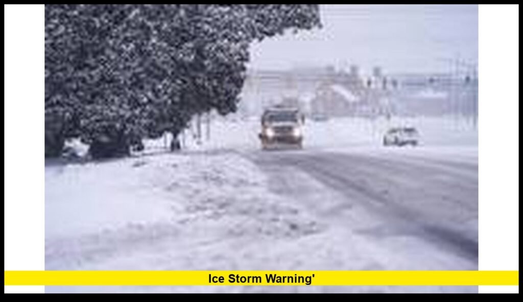
Road Conditions and Travel Safety
Driving during an ice storm can be extremely dangerous.
Black ice often forms when freezing rain coats pavement, making roads nearly invisible hazards.
Transportation departments recommend avoiding travel during an ice storm warning whenever possible.
If travel cannot be avoided, drivers should follow key safety practices:
- Reduce speed significantly
- Increase following distance
- Avoid sudden braking
- Use headlights at all times
- Watch for falling tree branches
Bridges and overpasses freeze faster than regular roads, making them particularly dangerous during ice events.
Even experienced winter drivers can lose control on icy surfaces.
Forecast: What Happens Next
Meteorologists expect the storm system to continue moving eastward through the Great Lakes region.
The most intense icing threat will likely occur overnight into early Monday morning.
Forecast trends suggest several developments:
- Freezing rain continuing overnight in northern Michigan
- Snow and sleet transitioning to rain in some areas
- Winds increasing across portions of the Midwest
- Gradual improvement once temperatures rise above freezing
However, even after precipitation stops, icy surfaces can remain dangerous for several hours.
Road crews may require significant time to treat highways and local streets.
Residents should continue monitoring local weather alerts for updated warnings.
Late-Season Winter Storms in March
Although meteorological spring begins in early March, winter storms remain common across northern parts of the United States.
March often produces powerful storms because cold Arctic air can still collide with warmer southern air masses.
These conditions create complex weather systems capable of producing:
- Heavy snow
- Freezing rain
- Ice storms
- Strong winds
The current storm follows several recent winter systems that have affected large portions of the country during the late-winter season.
Weather experts note that March storms often bring a mix of precipitation types, which increases the risk of ice accumulation.
How Residents Can Stay Safe During an Ice Storm
Safety experts emphasize preparation and caution during freezing rain events.
Recommended safety steps include:
Before the Storm
- Charge phones and backup batteries
- Stock emergency food and water
- Keep vehicles fueled
- Prepare flashlights and blankets
During the Storm
- Avoid travel if possible
- Stay indoors
- Keep emergency alerts active on mobile devices
- Monitor weather updates
After the Storm
- Watch for fallen power lines
- Use caution when walking outside
- Check on elderly neighbors or family members
- Report outages to local utilities
Ice storms often cause lingering hazards even after precipitation ends.
Tree damage and icy sidewalks may remain for days.
The Importance of Weather Alerts
An ice storm warning is one of the most serious winter weather alerts issued by meteorologists.
This warning indicates that dangerous ice accumulation is expected or already occurring.
The warning typically triggers emergency preparation efforts from:
- Transportation departments
- Utility companies
- Emergency management agencies
- Local governments
Residents should treat the warning seriously and prepare for hazardous conditions.
Ignoring winter weather alerts can lead to dangerous situations, especially during overnight icing events.
Looking Ahead
Weather experts will continue monitoring the storm system as it moves eastward across the Great Lakes region and toward the Northeast.
Conditions should gradually improve after temperatures rise above freezing early in the week.
However, residents in affected areas may still face icy roads, tree damage, and scattered power outages even after the storm ends.
Winter weather can change quickly, and officials encourage residents to stay alert for updated warnings.
Stay informed about changing conditions and share your experience in the comments if your area is under an ice storm alert.