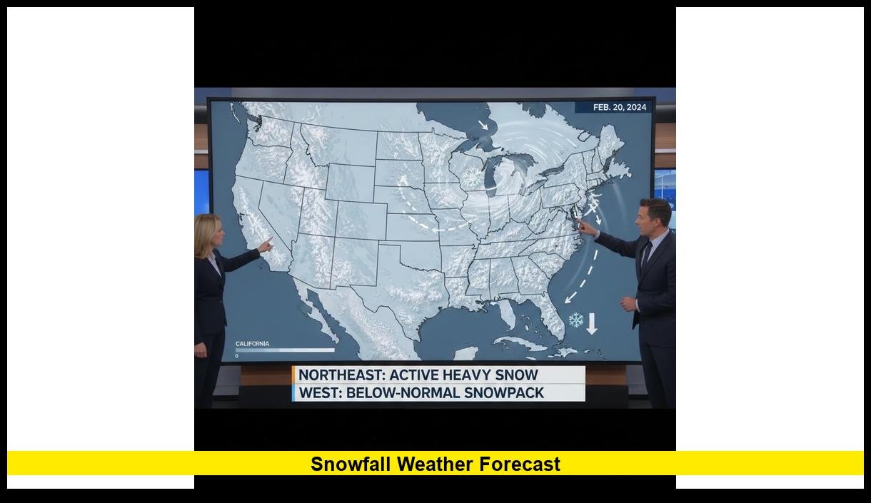
The snowfall weather forecast across the United States as of February 12, 2026, shows sharp regional contrasts, with active snow in the Northeast and limited accumulation in much of the West. Current National Weather Service maps indicate ongoing winter weather advisories in parts of New England and the Great Lakes, while western states continue to report below-average snowpack levels.
Winter patterns remain dynamic as mid-February progresses. Storm tracks continue to favor the northern tier of the country, while warmer air dominates large portions of the South and Southwest.
Northeast: Active Snow Pattern Continues
Several rounds of snow have impacted the Northeast in recent days. Light to moderate accumulations have been reported across upstate New York, Vermont, New Hampshire, and Maine. Interior Massachusetts and northern Pennsylvania have also seen measurable snowfall this week.
Cold air remains in place across much of New England. That setup supports additional snow showers as weak disturbances move through the region. Travel impacts have been minor in major metro areas but more noticeable in higher elevations and rural communities.
The current pattern favors:
- Periodic snow showers through the weekend
- Cold overnight lows supporting snow retention
- Localized heavier bands in higher terrain
Major coastal cities like Boston and New York City have seen fluctuating precipitation types due to marginal temperatures. However, interior sections continue to experience more consistent snowfall.
Great Lakes and Upper Midwest: Lake-Effect Influence
Lake-effect snow continues to shape the forecast in parts of Michigan, northern Ohio, western New York, and Wisconsin. Cold air crossing the relatively warmer Great Lakes has produced narrow but intense snow bands.
Communities east of Lake Ontario and Lake Erie remain especially vulnerable to localized heavy totals. Snowfall amounts vary widely over short distances in lake-effect events, which makes localized forecasting critical.
Temperatures across the Upper Midwest remain below seasonal averages. That supports snow accumulation when systems move through the region. Short-range models show continued chances for light snow and flurries over the next several days.
Western U.S.: Ongoing Snow Deficit
The most significant long-term story in this snowfall weather forecast involves the West. Snowpack measurements across parts of California, Oregon, Utah, and Colorado remain below historical averages for mid-February.
Mountain regions have received periodic snowfall, particularly at higher elevations. However, totals have not been sufficient to erase seasonal deficits. Lower elevations across the Pacific Northwest and the Southwest have seen limited winter precipitation compared to typical years.
Current conditions show:
- Below-normal snowpack in several western basins
- Warmer-than-average daytime temperatures at lower elevations
- Intermittent mountain snow events
Water managers continue to monitor snowpack levels closely, especially in the Colorado River Basin, where spring snowmelt plays a critical role in water supply.
Ski resorts at higher elevations remain operational, though some have reported thinner base depths compared to seasonal norms. Conditions vary widely depending on elevation and recent storm activity.
Central U.S.: Mixed Winter Conditions
Across the Central Plains and Midwest, snowfall activity has been more sporadic. Fast-moving systems have delivered light snow to portions of Nebraska, Iowa, northern Missouri, and Illinois. However, many southern sections of the region have seen rain instead of snow due to warmer surface temperatures.
Forecast models show no major winter storm outbreaks in the central states at this time. Instead, weaker disturbances are expected to bring periodic light precipitation.
Key trends include:
- Short-duration snow events
- Limited widespread heavy accumulation
- Temperature swings between systems
These shifting conditions reflect a more progressive jet stream pattern, which prevents prolonged cold air from settling deep into the central United States.
Southern States: Minimal Snow Threat
The South remains largely free of significant snow threats. Temperatures across Texas, the Gulf Coast, and the Southeast are trending near or above seasonal averages.
While isolated flurries cannot be ruled out in higher elevations of the southern Appalachians, widespread snowfall is not currently in the forecast. Precipitation across the region is expected to fall primarily as rain.
Residents across the South should continue monitoring forecasts, but no major winter disruptions are anticipated in the near term.
National Forecast Trends Through Late February
Medium-range outlooks suggest a continued divide between northern and southern tiers of the country. The northern states are more likely to see additional snow systems, while the southern half remains milder.
Meteorologists are watching:
- Jet stream positioning
- Arctic air availability
- Pacific storm energy entering the western U.S.
If colder air strengthens later this month, snowfall potential could expand southward. For now, the pattern supports typical late-winter variability rather than extreme nationwide outbreaks.
Travel and Safety Considerations
Drivers in snow-prone regions should remain alert for rapidly changing road conditions. Lake-effect snow and fast-moving clippers can reduce visibility quickly.
Air travel disruptions have been limited but may occur in areas experiencing heavier bursts of snow. Checking local airport updates remains important during active weather periods.
Preparedness steps include:
- Monitoring daily forecasts
- Allowing extra travel time
- Keeping winter emergency kits in vehicles
Snow events this season have generally been regional rather than widespread, but localized impacts can still be significant.
What to Expect Next
The overall snowfall pattern heading into the second half of February reflects seasonal variability. Northern states will likely continue seeing periodic snow chances. The West may experience occasional mountain storms, though significant recovery in snowpack would require sustained precipitation.
Forecasters emphasize that late-season snowstorms remain possible, particularly across the Northeast, Great Lakes, and Upper Midwest. Historical trends show that March can still deliver impactful winter systems in these areas.
The coming weeks will determine whether current snow deficits in the West improve or persist into spring.
Stay informed and share your local snowfall conditions in the comments as winter continues to unfold across the United States.